Collections
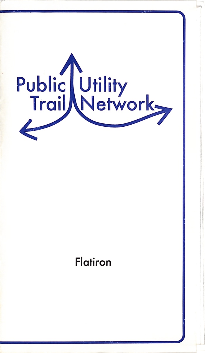
Public Utility Trail Network Flatiron / Katarina Jerinic
Books
FA.B81.1232
24 x 18 in (61 x 46 cm) unfolded
2010
map fold of flatiron district attached to cover by adhesive; inkjet printing, pencil, and acrylic paint on paper.
Public Utility Trail Network re-interprets the marks ConEdison and other public utilities paint onto sidewalks around the city as trail markers in a network of hiking/walking trails for pedestrians.
"For Conflux, trails around the HQ and in the East Village were mapped out. Small, temporary signs were attached to existing sign posts around the neighborhood, indicating trail heads and the particular color or types of markings to follow. Free maps of the trail in the East Village were available at each trail head and by clicking here." - from website