Collections
Sight Lines / Lize Mogel with Mara Cherkasky, John Cloud, John Emerson, and Ryan Shepard
Pamphlet bindings
FA.B121.2269
27 x 27 in; 68.6 x 68.6 cm
2012
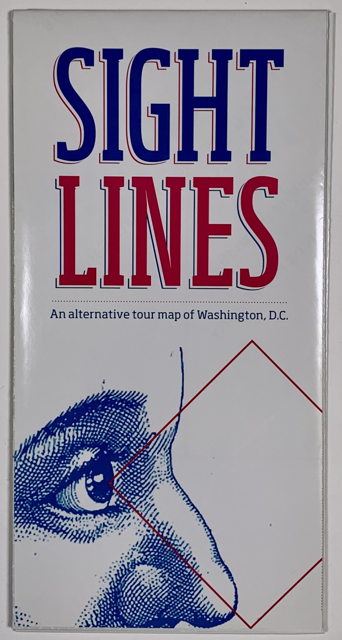
CBA copy 1. Folded offset printed map of Washington, D.C. Lize Mogel's tour map project "Sight Lines" offers an alternative view of the iconic city Washington, D.C. It delineates six different routes that can be followed either by car, foot, bicycle, canoe, or public transportation through predominately mundane of unfamiliar terrain. Mogel tracked down various historic locations that have gone unnoticed to the unassuming eye or altogether hidden in plain sight by new development, landscape reconfiguration or changed policies. Each route leads individuals on a path of discovery of unconventional locations linked via a shared purpose and history that has otherwise only been the knowledge of a select few. This project was commissioned by the Washington, DC Commission on the Arts and Humanities for the 5x5 public art exhibition, in which 5 curators each chose 5 artists to create site-specific public art works. Sight Lines was part of Steve Rowell's Suspension of Disbelief. It was distributed for free in all DC public libraries.